La course d'orientation peut se pratiquer dans les forêts de la destination Quimperlé les rias en Finistère Sud.
Hentadoù-reteriñ

Nature orienteering course

Logo Bretagne

Follow an orienteering course and discover the forest in a different way, in a fun, adrenalin-fuelled challenge. The forests of Coatloc'h and Carnoët are each home to a Sports Orienteering area with 12 trails offering four levels of difficulty, from beginner to advanced. The principle is simple: equipped with a map, a compass and good walking shoes, you have to find all the markers along the chosen route as quickly as possible. It's up to you!

Discovery trail on the Merrien peninsula, Moëlan-sur-Mer

Take a stroll through the Plaçamen woods and discover the secrets of the ria.

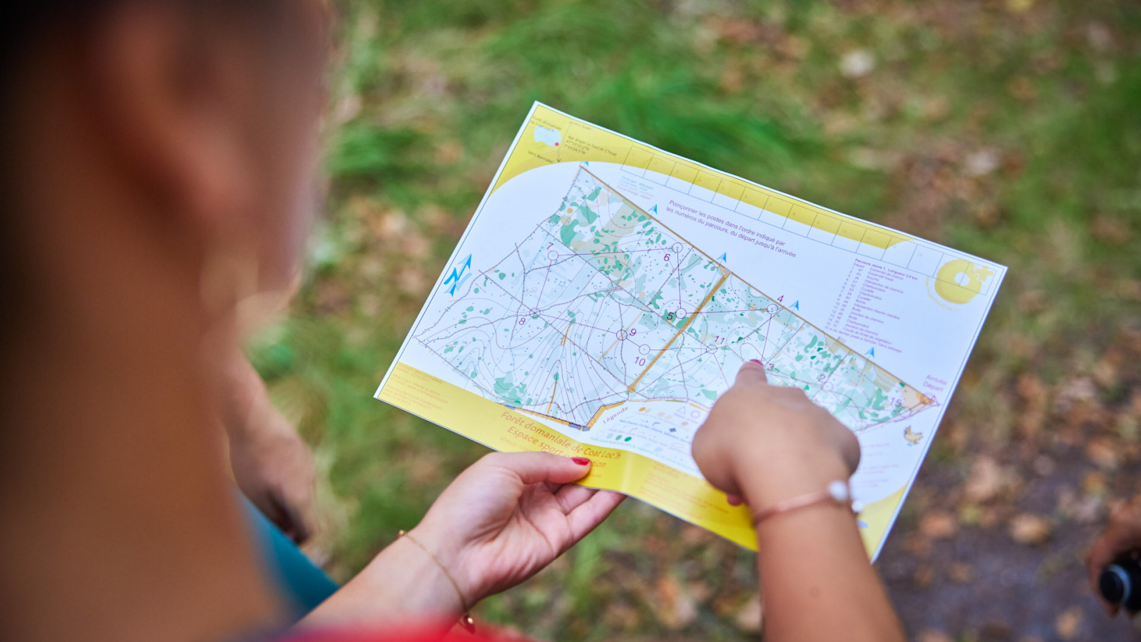
  1. The places to discover on the map are circled and numbered.
  2. You'll find a wooden marker with a punch.
  3. A text and a photo will tell you about a particular feature of the site.
  4. Punch the card in the box with the question, and compare the punches you get to find the answer to the question.

Complete the route at your own pace, in the order that suits you and with respect for the environment.


12 orienteering courses in the Carnoët forest, Quimperlé

The Pays de Quimperlé has set up 12 orienteering courses in the Carnoët national forest. From beginners to experts, there's something for everyone, so you can (re)discover this forest from a whole new angle!

Orienteering is an outdoor activity accessible to all levels. Participants can run or walk at their own pace and choose their own route to discover the markers.

When participants find a marker, they punch their map to prove that they have visited that location. This activity is an excellent way to discover the Toulfoën forest while improving your orienteering skills and developing your physical fitness.

Green = For children, schoolchildren, families and those new to orienteering. The posts are close to the paths.

Blue = For more experienced orienteers. The posts are close to the paths but allow you to explore the forest.

Yellow = For those who read and use the map well. Some posts are difficult to discover in order to test the orienteer's skills.

Orange = For good orienteers. It will sometimes be necessary to cross the forest following an azimuth or a contour line.


12 orienteering courses in the forest of Coatloc'h, in Scaër

Orienteering in the forest involves moving around a set course, using a map and compass to find the markers scattered around the course. The aim of the orienteering race is to find all the markers as quickly as possible in the order shown on the map, following a route chosen by the participant. The course can be adapted to different levels of difficulty and length depending on the objectives and abilities of the participants. Orienteering at Scaër, in the forest of Coat Loc'h, offers 4 levels from beginner to expert.

Other orienteering courses

Cistes orienteering trail in Scaër

Similar to geocaching, the Tourist Office is offering routes around Scaër "in search of cists".

The game involves hiding boxes or other containers in the countryside, which can be found by answering a series of riddles. When someone discovers a cist, he or she retrieves the object hidden inside and replaces it with another object, leaving a message for the "hider".

This treasure hunt in Scaër is an opportunity to discover the region by going for a walk, but also by answering the questions asked.


Orienteering course at Grand-Champ, Scaër

The town of Scaër's sports department, in partnership with the Quimper Orientation club, is offering you the chance to try orienteering at Grand-Champ.

Whether you're running or walking, alone or with your family, the aim is to complete a circuit marked out by markers.

So don't wait any longer! Follow the route of your choice using the map (and a compass if you have one) and set off to discover the site!

Choose your route:

Interactive: by downloading the VIKAZIMUT application on your smartphone (Android)
Classic: print out the map below or collect it free of charge from the Tourist Office or Town Hall.


Kerlagadic Wood and Municipal Stadium

he municipality and the Quimper Orientation orienteering club are offering you the chance to practise orienteering in the Kerlagadic woods and at the municipal stadium, using the enclosed maps and permanent markers.

Choose your route:

  • Interactive: by downloading the VIKAZIMUT application on your smartphone (Android
  • Classic: print out the map below or collect it free of charge from the Tourist Office. (Please note that the Bannalec office is not open all year round)


Favourites
Carnet de voyage
Peseurt amzer a vo graet gantañ ? What's the weather going to be like?
Today
Matin
Wind : km/h
Après-midi
Wind : km/h
Tomorrow
Matin
Wind : km/h
Après-midi
Wind : km/h
The day after tomorrow
Matin
Wind : km/h
Après-midi
Wind : km/h